Place
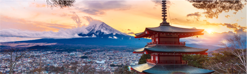
Kansai, Japan
WMOC schedule
| Datum | Aktivita | Místo |
|---|---|---|
| 21. 5. 2027 | Sprint model | Kami Town |
| 22. 5. 2027 | Sprint qualification | Kami Town |
| 23. 5. 2027 | Sprint final | Kami Town |
| 24. 5. 2027 | Forest model | Hachi- Kogen |
| 25. 5. 2027 | Forest qualification | Higashi-Hachibuse Kogen |
| 26. 5. 2027 | Middle final | Uwano-Kogen |
| 27. 5. 2027 | Free day | Hachikita-Kogen |
| 28. 5. 2027 | Long final | Mineyama-Kogen |
Climate
Temperature Precipitation
Kasumi (Sprint) 18.4°C (highest 23.0°C / lowest 14.4°C) 34.6mm
Uwano-Kogen (Forest) 16.7°C (highest 21.5°C / lowest 12.4°C) 55.8mm
Punching system
All races will use the SPORTident system in contactless SIAC mode
Clothing
There is no mandatory clothing specified for any of the races. Shoes with metal spikes are prohibited in all sprint events.
Maps
Sprint: ISSprOM 2019-2 standard, scale 1:4,000 or 1:3,000, contour interval 2 meters. Mapped in 2026.
Forest disciplines: ISOM 2017-2 standard, scale 1:10,000, 1:7,500, or 1:5,000, contour interval 5 meters. Updated in 2026.
Map samples HERE

Terrain
Sprint: Kasumi, Kami Town
The sprint race will take place in the fishing town of Kami, located on the coast of the Sea of Japan. The course will run through the old town area, featuring many narrow streets. The terrain is mostly flat and situated at sea level.
Forest Qualification: Higashi-Hachibuse Kogen
The forest qualification race will be held in the wooded area surrounding the Higashihachi ski resort, located in the Yabu City region. The terrain lies at an altitude of approximately 600–800 meters and consists of one main slope with generally gentle gradients, but with some steeper sections. There are relatively few distinct terrain features, and the area does not require highly precise map reading overall. In some parts, deep gullies and valleys form important route choice elements. The forest is generally runnable, with very good visibility. Most of the vegetation consists of planted cedar and cypress forests.
On the western edge of the area, there is a well-known terraced rice field landscape, adding to the unique character of the terrain.
Middle Distance: Uwano-Kogen
The middle distance final will take place on the slopes of Uwano Kogen at an altitude of 500–700 meters. The terrain is mainly deciduous forest with some conifers and features a network of paths and forest roads. Visibility and runnability are generally good, although they may be reduced in areas with younger forest. There are also grassy areas and recreational facilities within the terrain.
Long Distance: Mineyama Kogen
Mineyama Kogen is a large, gently undulating basin at an altitude of around 900 meters, surrounded by mountains exceeding 1,100 meters. The terrain consists of deciduous forest dominated by oak, with rich detail, small streams, wetlands, and scattered rocky areas. Runnability and visibility have improved significantly in recent years. A ski resort, opened in 2017, is located in the southern part of the area.
Accompanying Events
In parallel with WMOC, accompanying events will also be organized. Details are currently being prepared.